[sgmb id=1]
Loading…
Address & Contact
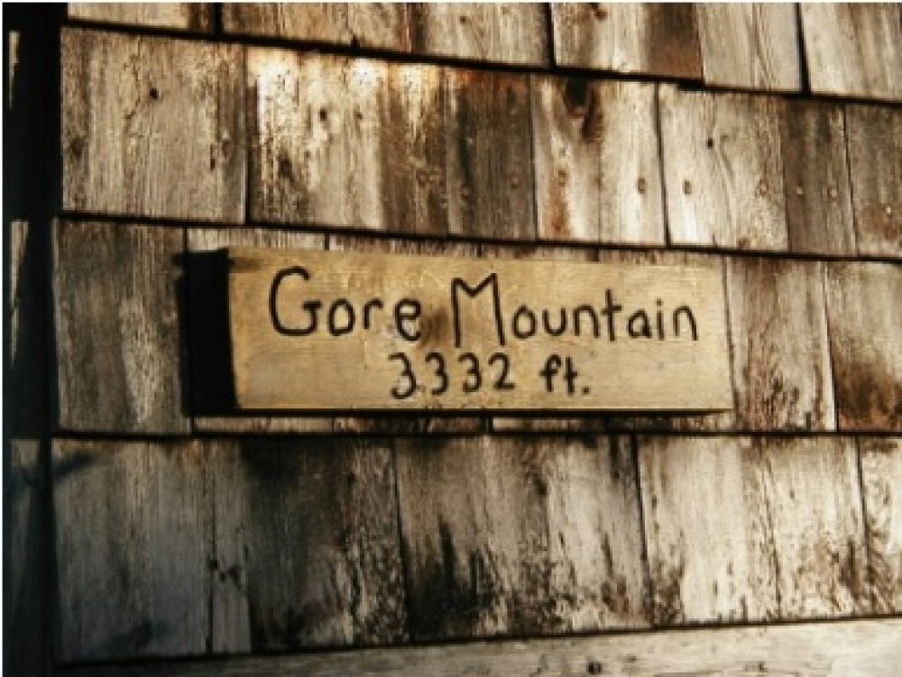
The Gore Mountain trail elevation and length is 1972 feet, 3.8 miles. The Trailhead and parking are on Route 114 near the North end of Norton Pond in Norton. Located in the unorganized town of Avery’s Gore, Gore Mountain forms the northern boundary of the Nulhegan River Basin. The 3.8 mile Gore Mountain Trail follows the original fire warden’s trail (though the fire tower no longer remains on the summit) and provides an excellent remote backcountry experience. The trail begins with a moderate climb following an unnamed brook before leveling off and crossing several poorly drained areas. The trail continues gradually, following a series of beaver meadows and crossing two small brooks before reaching the most recent of the series of abandoned beaver ponds. From here the trail travels eastward. After cresting a small knoll, the trail descends and follows a brook for a short distance and, after crossing, emerges on the edge of an expansive logged area. The trail passes through and skirts the logged area – winding through small hardwoods before climbing to the crest of a second knoll and, shortly thereafter, to the edge of a large timber company road. After crossing the logging road, the trail climbs to the junction with a short lookout spur trail where local views are available to the west. From the lookout junction, the trail continues to a second road crossing, and then climbs steeply onto the northwest ridge of the mountain. From here, the trail begins a more persistent climb through open hardwoods and the higher elevation spruce-fir forests of the summit. The trail continues steeply over granite bedrock to the shoulder of the mountain where it enters the summit forest and turns eastward winding its way to the summit clearing. From the summit limited views of the Nulhegan Basin are available to the south.